Geologic Features in the Field
The rocks across Iveragh contain many clues and hints as to how and where they formed. Keep a look out for the features below next time you’re out exploring Iveragh.
Sedimentary Features
Beds
Layers of sedimentary beds at the Valentia Trackway Site and tilted layers at Ballinskelligs Bay.
Sedimentary rocks are arranged in layers piled up on top of one another known as beds. These layers are distinguished by differences in composition and lithology, such as variations in grain size, for example, alternations between finer siltstones and coarser sandstones, or by colour. Each of these beds represents a depositional event, for example, a rapid flooding event or the existence of a river channel in a particular area. Each layer could represent an event that lasted thousands of years or a rapid event lasting only a few hours or even minutes. The beds are separated by a planar surface known as a bedding plane, which indicates periods where no deposition was occurring.
Bedding is one of the most common sedimentary features that can be seen across Iveragh. These layers tell us about the sequence of depositional events and changes in the environment within the Munster Basin through time. In many areas across Iveragh, the bedding layers have been tilted and overturned, providing evidence of the Variscan mountain building event.
Laminations
Pebble dispaying millimetre scale laminations and rock outcrop at Derrynane displaying centimetre scale laminations.
Laminations are fine centimetre to millimetre scale layers found within sedimentary rocks. These divide rocks into smaller units than the beds. Laminations consist of small differences in the type of sediment, for example, a change in grain size, mineral content, colour, or organic content, that are caused by variations in sediment supply, perhaps related to seasonal or annual events such as floods. Laminations can provide information on how the rocks were formed and the processes that were occurring as the beds were being deposited. In Iveragh, these laminations record deposits that could have accumulated within a human lifespan.
Cross Beds
Cross-laminae from Derrynane. Large scale cross beds from an ancient river channel at Valentia Island.
Cross-beds are layers of sediment that are angled to the horizontal. Cross-beds from when sediments are deposited and transported by current flow, usually by wind or water. This results in the generation of ripples, dunes or inclined beds in channels. In fluvial or river environments cross-beds tend to be on the scale of millimetres to centimetres, while in aeolian or wind deposited environments these sediments can be on the scale of metres to tens of metres. In Iveragh, these features predominantly formed in the river channels that dominated the landscape during the Devonian. Cross-bedding can act as an important indicator of the flow direction of these channels. Smaller-scale cross-beds are referred to as cross-laminae.
Ripple Marks
Ripples marks from Ballinskelligs Beach and Derrynane Mass path.
Surface expressions of cross-bedding may be seen as ripple marks. These are distinguished as undulating ridges in sandstone or siltstones units, that look similar to the ripples you would see on beaches today. Ripples can be used to determine the direction of flow as the steepest side (lee face) tends to face downflow.
The ripple marks of Iveragh formed across the Devonian floodplain and were preserved after being buried by rapid influxes of sediment. The ripples you see in Iveragh are have been re-exposed to the surface of the Earth after over 360 million years of being buried below rock layers!
Rip-up clasts
Rip-up clast bed from Valentia Island and Reenroe Cliff Walk.
Rip-up clasts are fragments of muddy sediment of a variable size found within sandstone, siltstone, or conglomerate units. Rip-up clast beds form when the action of flowing water in a high-energy river or stream detaches mud and clay from the bottom of the riverbed. These detached clasts are then transported by the flowing water of the river and due to the high cohesion of mud, retain their shape. These clasts or fragments will be deposited in lower energy sections of the river such as along outer banks or at the inside of bends. Eventually, as the sediments lithified into solid rock, these fragments were locked in the rocks.
These sedimentary features are common in flood plains where erosion alternates with deposition.
Mudcracks
Mudcracks at road outcrop in Caherdaniel and along the North Coast of Valentia Island.
Mudcracks or desiccation cracks form from the shrinkage and contraction of water-saturated, clay-rich sediment due to dehydration as evaporation occurs. Cracks develop across the surface of the sediment and intercept one another to form polygonal shapes with varying numbers of sides. Mudcracks are preserved by the influx of later sediment that infills the cracks and covers the sediment surface.
The presence of mudcracks indicates that the sediment experienced quite rapid alternation between wet and dry conditions. This kind of environment with temporary puddles and shallow pools is typical of floodplains. Floodplain environments also readily supply large volumes of sediment which could quickly cover the surface of the cracks and aid in preservation.
Igneous Rocks
Vesicles
Vesicles from Whitestrand, Ballycarbery.
Vesicles are small, rounded holes found in igneous rocks that are formed as gas bubbles expand and are frozen in lava as it cools and solidifies. Vesicles can be useful for understanding the history of igneous rocks. The presence of lots of gas bubbles indicates that the lava would have been very gas rich.
Amygdales
Amygdales and vesicles from Whitestrand, Ballycarbery.
Vesicles can sometimes become unfilled or occupied by secondary minerals that form after the original rocks. Vesicles that contain minerals are known as amygdales. Common secondary minerals include calcite or quartz and these minerals often precipitate and crystallise out of mineral-rich groundwater that circulates through the rocks.
Structural
Folding
Gentle folding at Culoo Head and pronounced syncline from Lamb’s Head.
Folds are among the most common structural feature across Iveragh. Folds form during deformation, where the size and shape of the rock are altered. Deformation is the result of stress acting on the rocks. Folding is ductile deformation meaning that it is irreversible and leaves behind a permanent change in the rock.
In Iveragh this stress was created due to compression during the Variscan Orogeny. During the mountain building, the originally horizontal rock layers that formed in the Devonian were crumbled and buckled to form a series of up and down folds known as synclines and anticlines. On the large scale, anticlines are n-shaped folds that usually form mountain peaks, while synclines are u-shaped folds that usually form valleys.However, folding can also be seen at smaller scales across Iveragh. These smaller folds are superimposed on the larger ones. Asides from being of geologic significance, these features can simply be admired for their impressive forms.
Quartz Veining
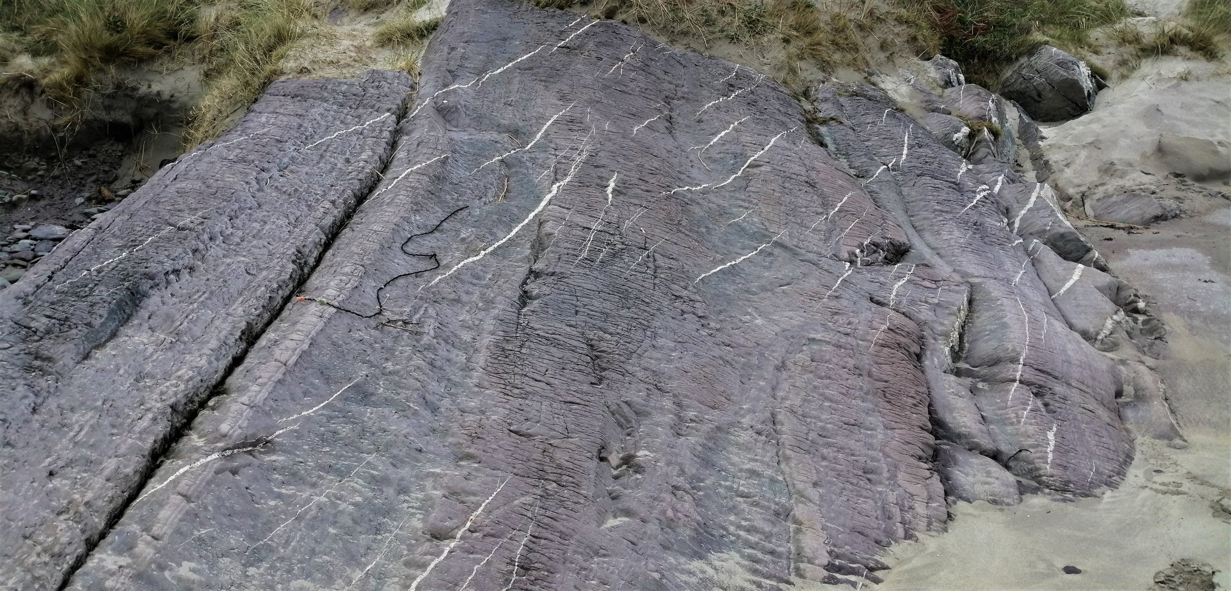
Quartz vein band from St. Finian’s Bay and outcrop displaying extensive quartz veining in Sneem.
Across the rocks of Iveragh, veining is a prominent feature. Veins are recognised as bands of minerals cutting across the rocks. Veins form within existing cracks in the rocks. These cracks may have formed during periods of extension during the formation of the Munster Basin, during mountain building, due to decreases in pressure as overlying rock material was removed, or due to cooling and shrinkage of the rocks.
Mineral-rich fluids travel and circulate through the fractures and fissures within rocks. Often this fluid is hot. When this fluid cools, minerals are crystallised and form hard mineral deposits.
Most veins found in the rocks of Iveragh are composed of quartz that can be recognised by its milky white colour. Veins are found in rocks of all types and range from millimetres to metres thick.
Quartz Slickensides
Quartz Slickenside fibres at Cooncrome Harbour and Beentee.
Quartz slickensides are polished, smoothed, and striated sheets of quartz. These are found on bedding planes and form as the result of sliding and abrasion of one rock wall against another during motion along faults. The orientation of the mineral fibres represents the direction of extension.
Tension Gashes
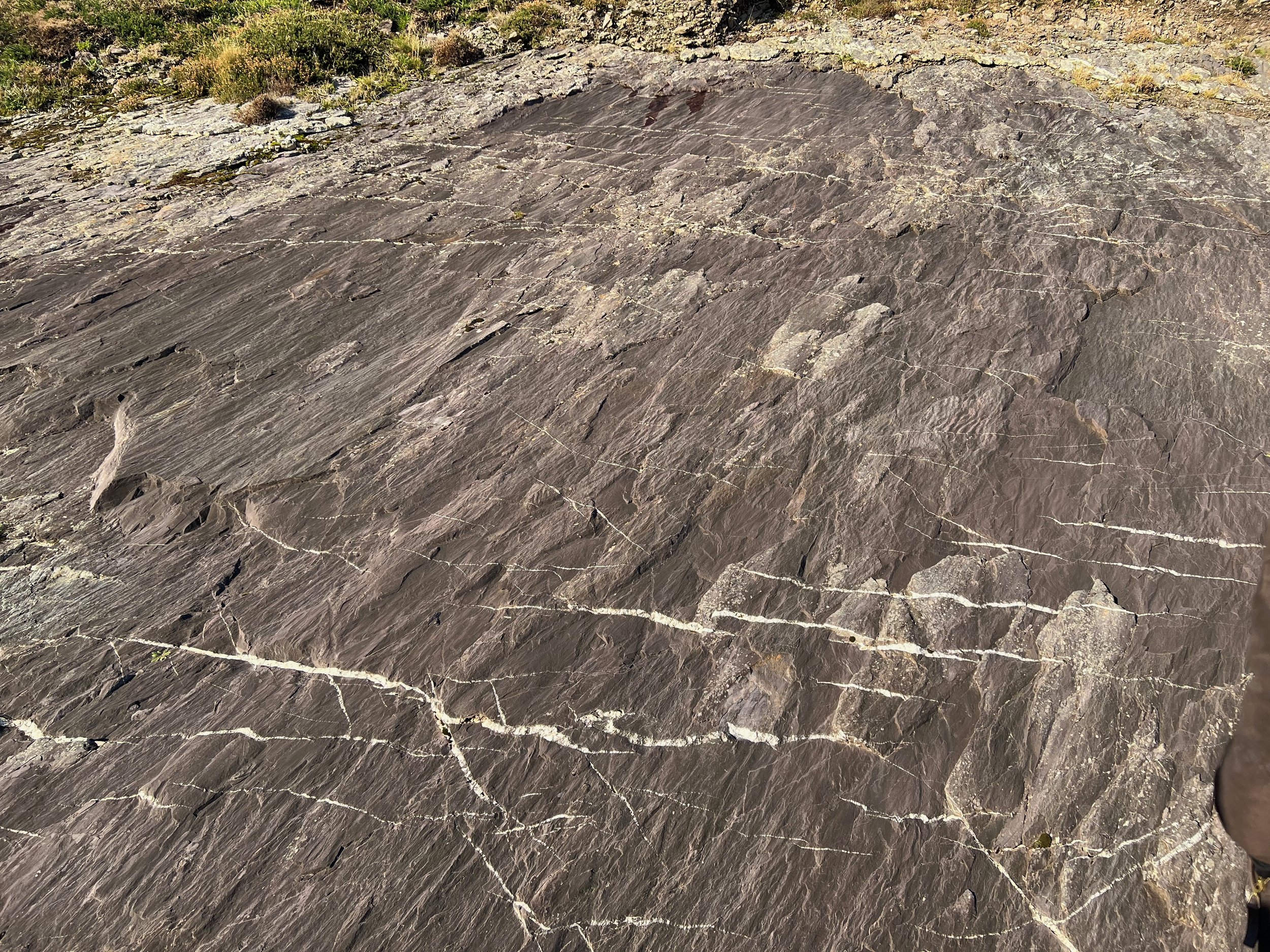
Tension gashes at Derrynane Beach and at road outcrop in Caherdaniel.
Tension gashes are small fractures that open up when a rock is stretched. These can later become infilled with minerals, such as quartz. Tension gashes are often all orientated in the same direction in a staggered arrangement.
En Echelon Quartz
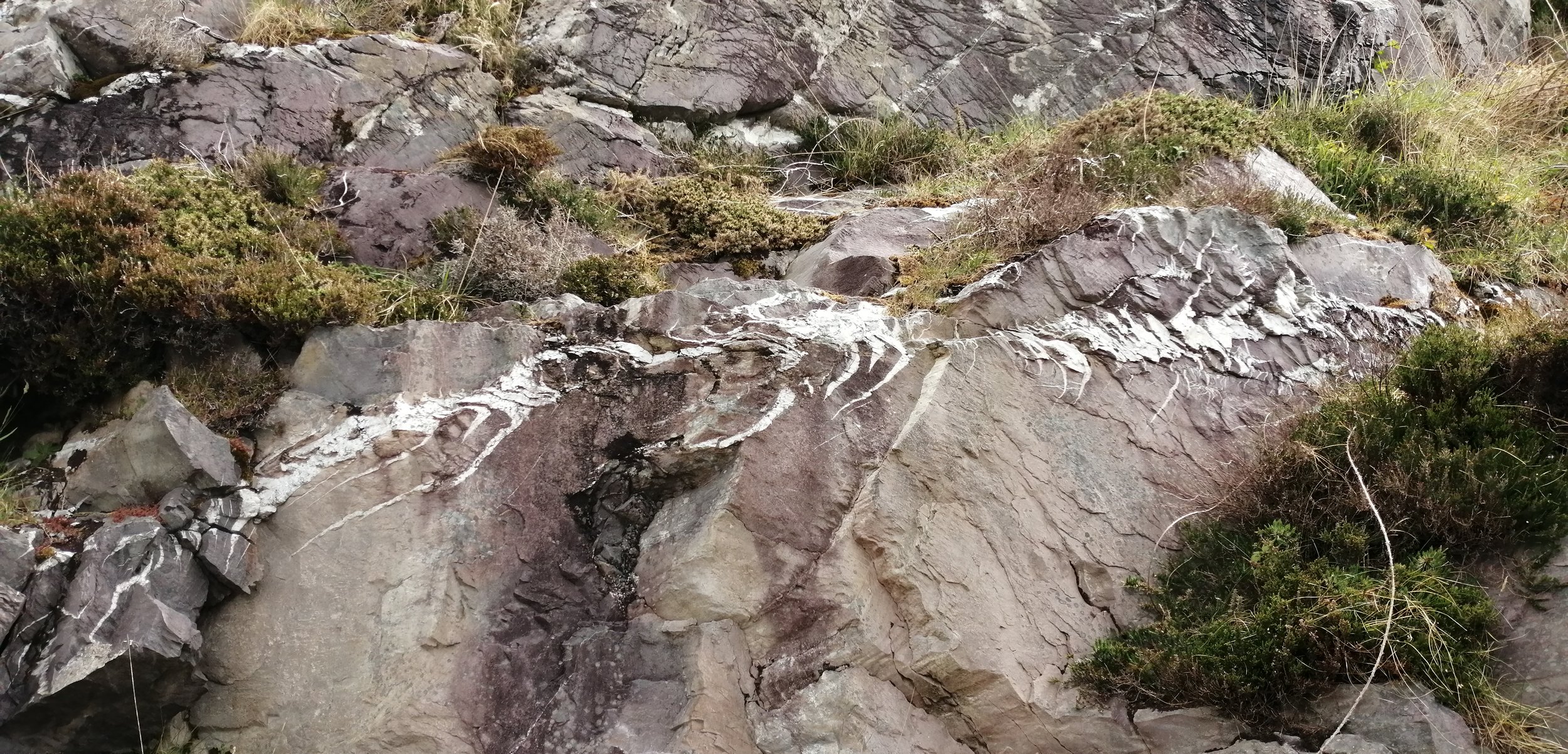
En echelon quartz veining at Cooncrome Harbour.
En echelon quartz veins from when tension gashes undergo deformation that changes their shape and creates distinctive ‘S’ or crescent shapes.
Copper
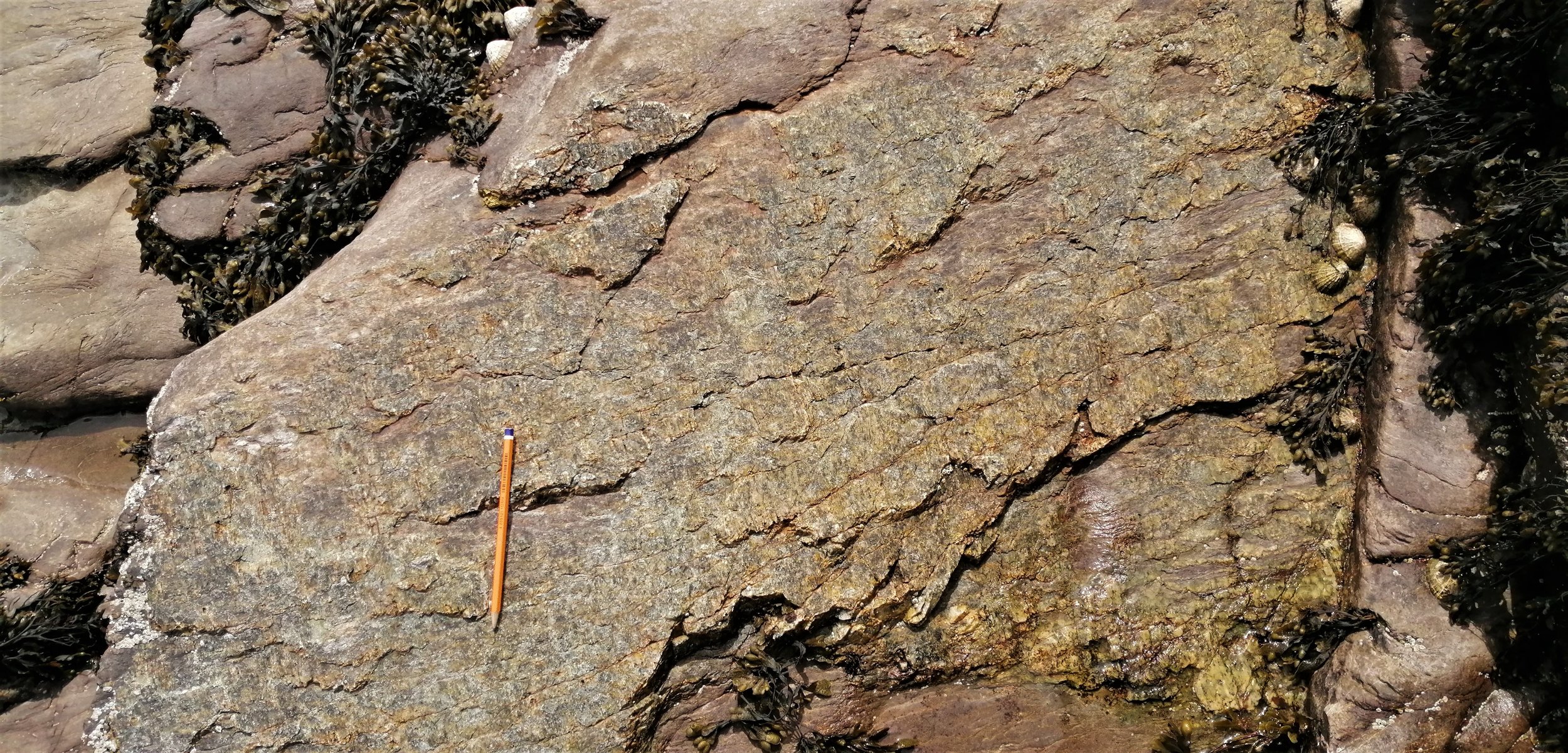
Sediment hosted copper and vein hosted copper deposits from Lamb’s Head.
The copper deposits found around Kerry are largely structurally controlled and closely associated with geologic faulting. When the Old Red Sandstones were being formed the continental crust was undergoing a period of stretching or extension which resulted in the formation of a low-lying basin and the development of many geologic fractures. These fractures provided pathways for copper-rich hydrothermal fluids from deep within the earth to travel through the rocks. As these fluids cooled and crystallised they formed copper-rich quartz veins.
Some of the copper in the area is also found within the sedimentary rocks themselves and is therefore known as sediment-hosted copper. Sediment-hosted copper forms when copper-bearing fluids mix through permeable sedimentary rocks and copper is deposited.
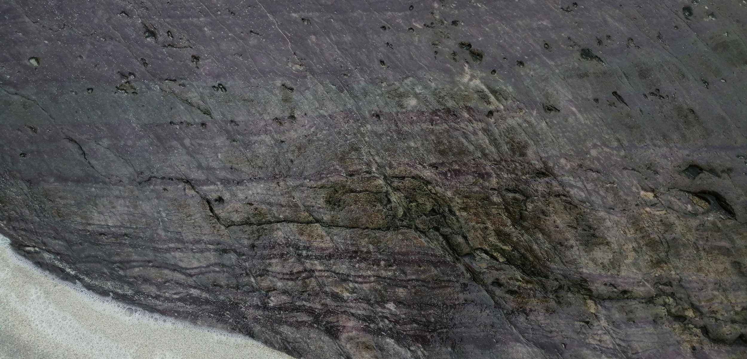
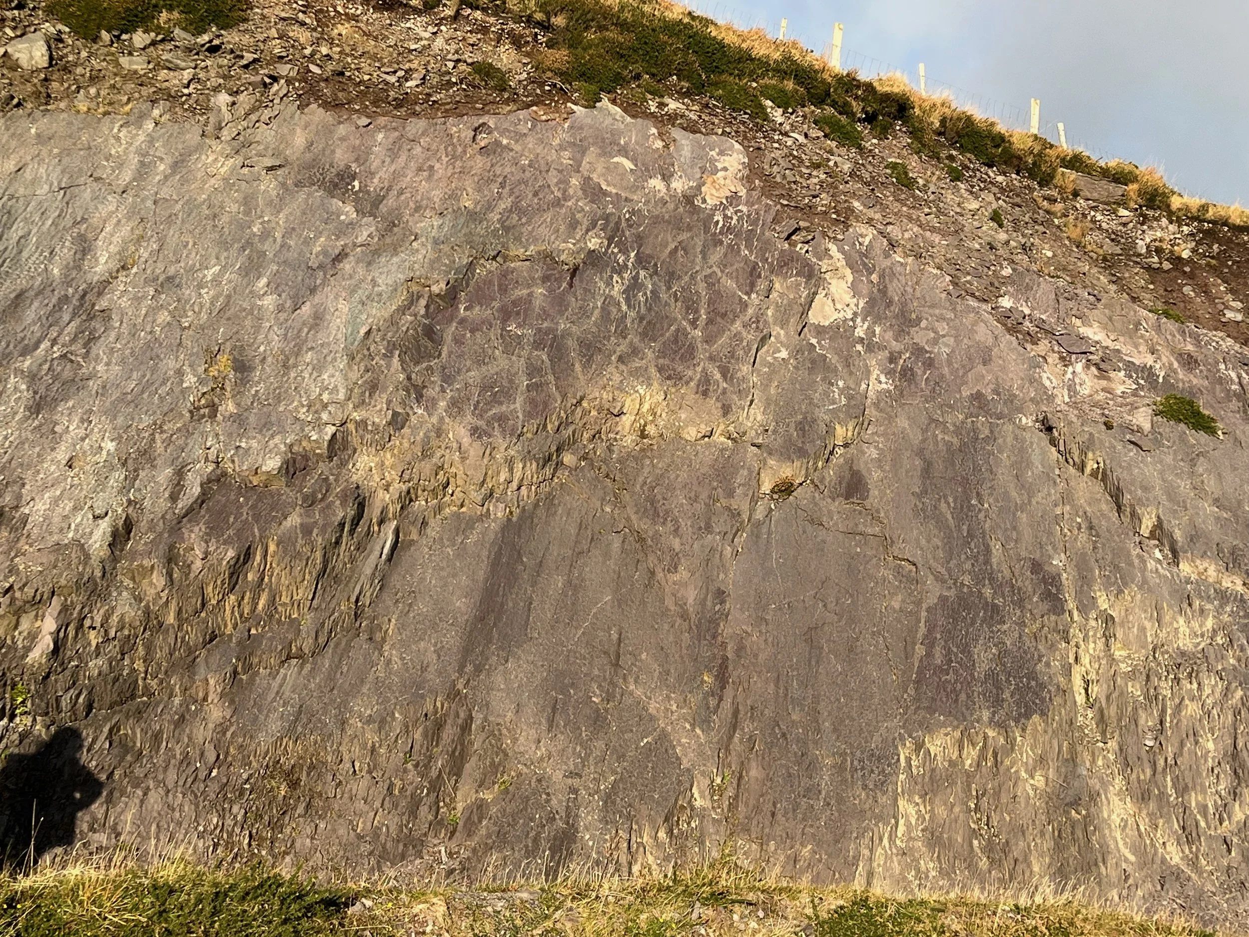
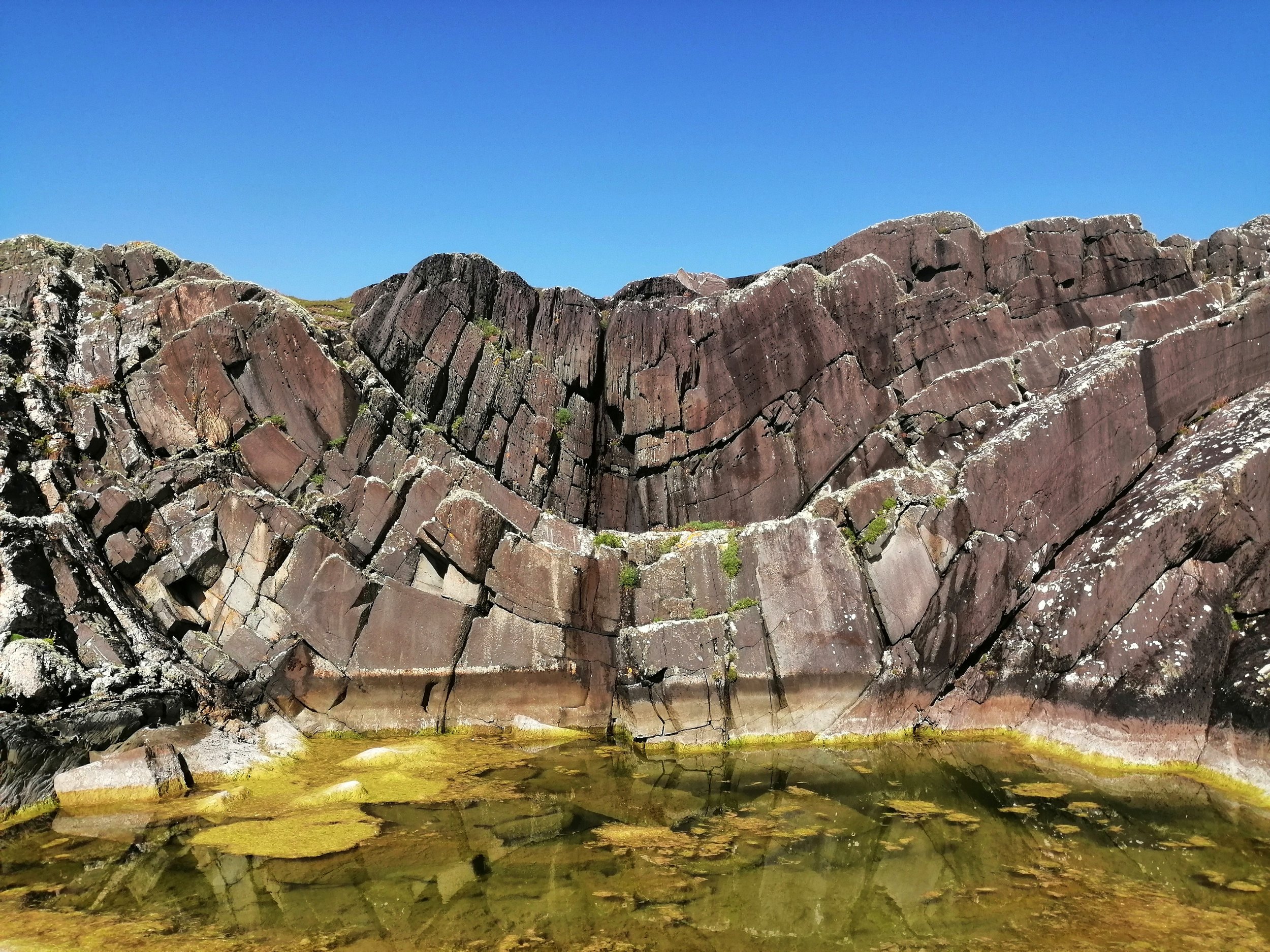
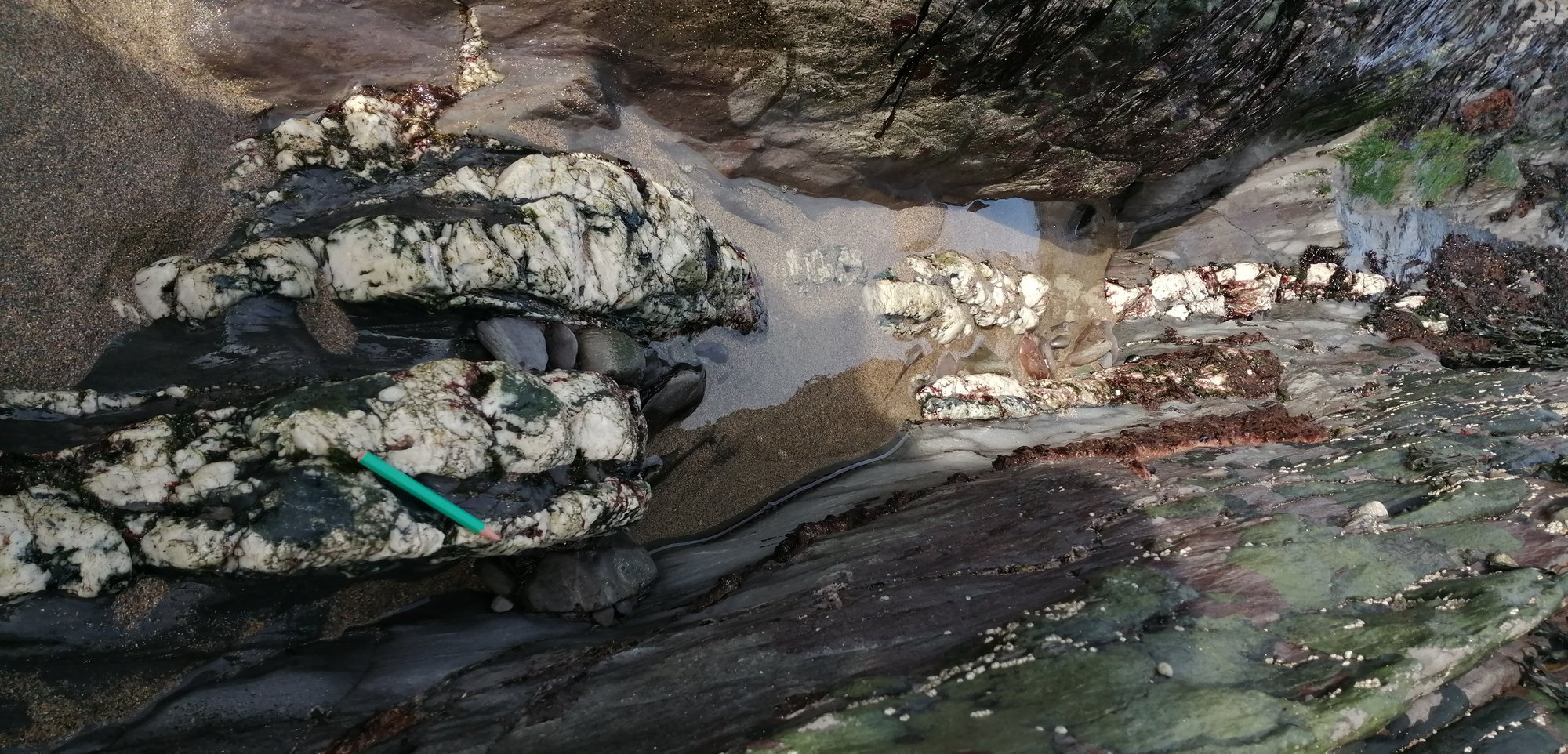
Many of the quartz deposits of Iveragh contain another green mineral known as chlorite. The chlorite minerals are much more common and can be distinguished from copper by their duller colour. Chlorite gives the green colour to many of the sedimentary rocks across Iveragh.
Chlorite minerals within quartz deposits.
Weathering
Weathering can be mechanical, chemical, or biological and involves processes such as alternate wetting and drying, frost action, and salt crystallisation.
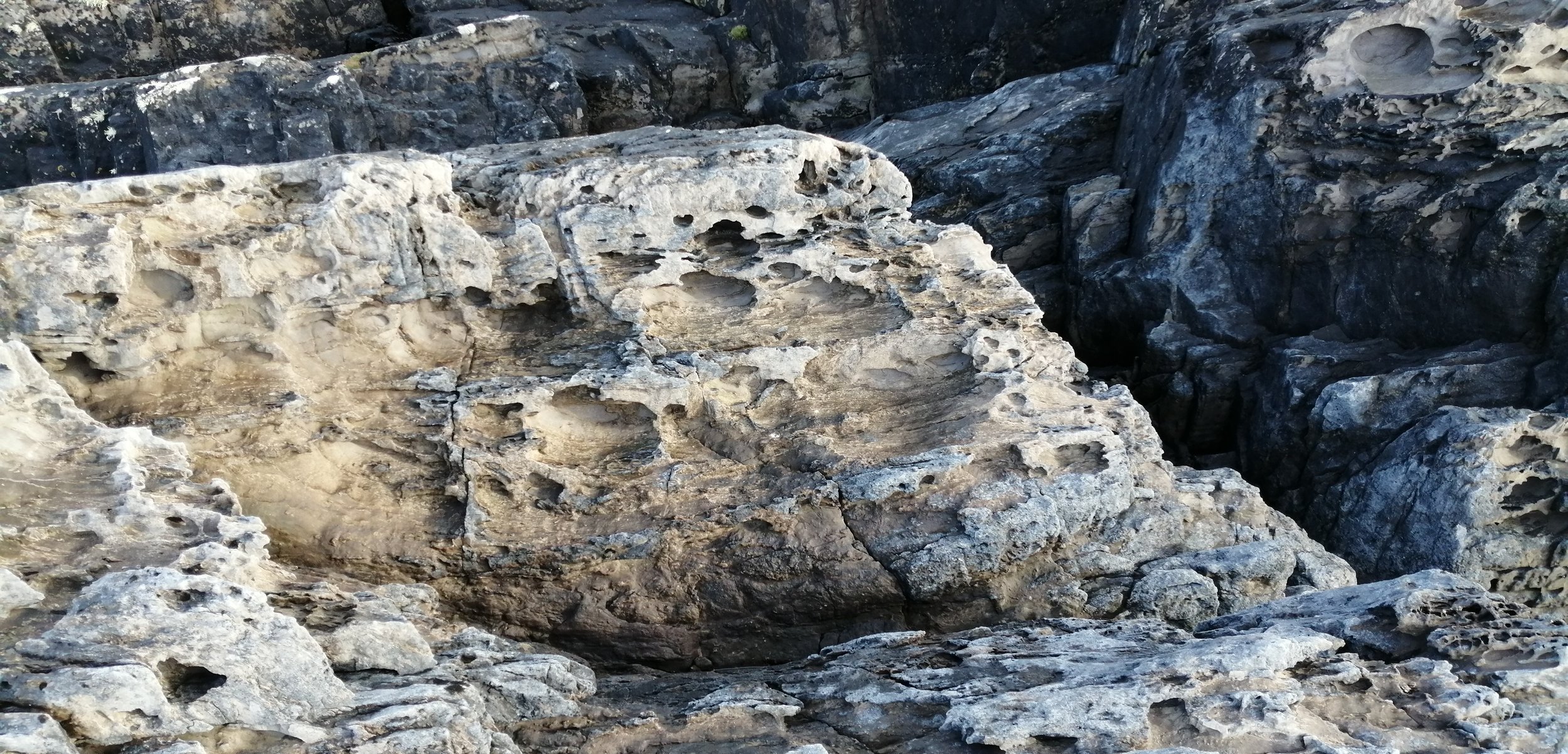
Tafoni/ Honeycomb weathering
Tafoni or honeycomb weathered rock surfaces.
Along the coastline, many of the rock outcrops contain a series of small cavities that give the rock a honeycomb or sponge-like appearance. There are several theories that have been suggested to explain this weathering feature including wetting-drying, marine abrasion, and salt weathering. Salt weathering is possibly the most common explanation. Salt weathering occurs when salt collects on the surface of rocks. The salt works its way into pore spaces within the rocks and as it crystallises and expands it creates a small hole, that gets increasingly bigger as this process is repeated, leaving the rock more vulnerable to other types of weathering.
Abrasion/Potholes
Abraded and potholed rock at Whitestrand and abraded rock in the intertidal zone at Derrynane.
Abrasion occurs when pebbles and sand carried by the waves and tides grind over the rock surface like sandpaper, gradually smoothing the rock. When pebbles enter a small depression in the rock, the water may flow in a swirling pattern, carving out smoothed hollows.
Oxidation
Oxidation at Culoo Head and near Valentia Lighthouse.
Many of the rocks in Iveragh have a rusty weathered surface. The process that generates this rust material is known as oxidation. Oxidation is the breakdown of rock by oxygen and water. Oxidation weakens the structure of the rock and can make them crumble. It commonly occurs in rocks that are rich in iron.


